Hiking
Temperature: Average temperature 27 degrees Celsius
Average rainfall: 1,334.4 millimeters per year
Distance: Round trip distance approximately 6.5 kilometers
Elevation: Maximum elevation 2,102 meters
Porter: Available
Mode of travel: Car
Car from Phitsanulok:
Take Highway 11 and 1246 to Baan Phae Yak, turn onto Highway 1143 through Chat Trakan District, turn onto 1237 through Bo Phak Village to join 1268 to Phu Soi Dao Waterfall
Total distance approximately 188 kilometers
Car from Uttaradit:
Take Highway 1047 (Uttaradit-Nam Pad) to Nam Pad District, take 1239 for another 47 kilometers, take 1268 for another 18 kilometers to reach the park headquarters
Total distance approximately 133 kilometers
Contact:
Phone: 095 629 9528, 091 024 7633
Email: phusoidao07@hotmail.com
Facebook : Phu Soi Dao National Park - Phu soi dao National Park
National Park Chief: Mr. Farut Jatsatsangkul
Position: Specialized Forestry Expert
Operating hours: 08:00 AM - 04:30 PM
Peak Height
2,102 m
Distance
6.5 km
Porter
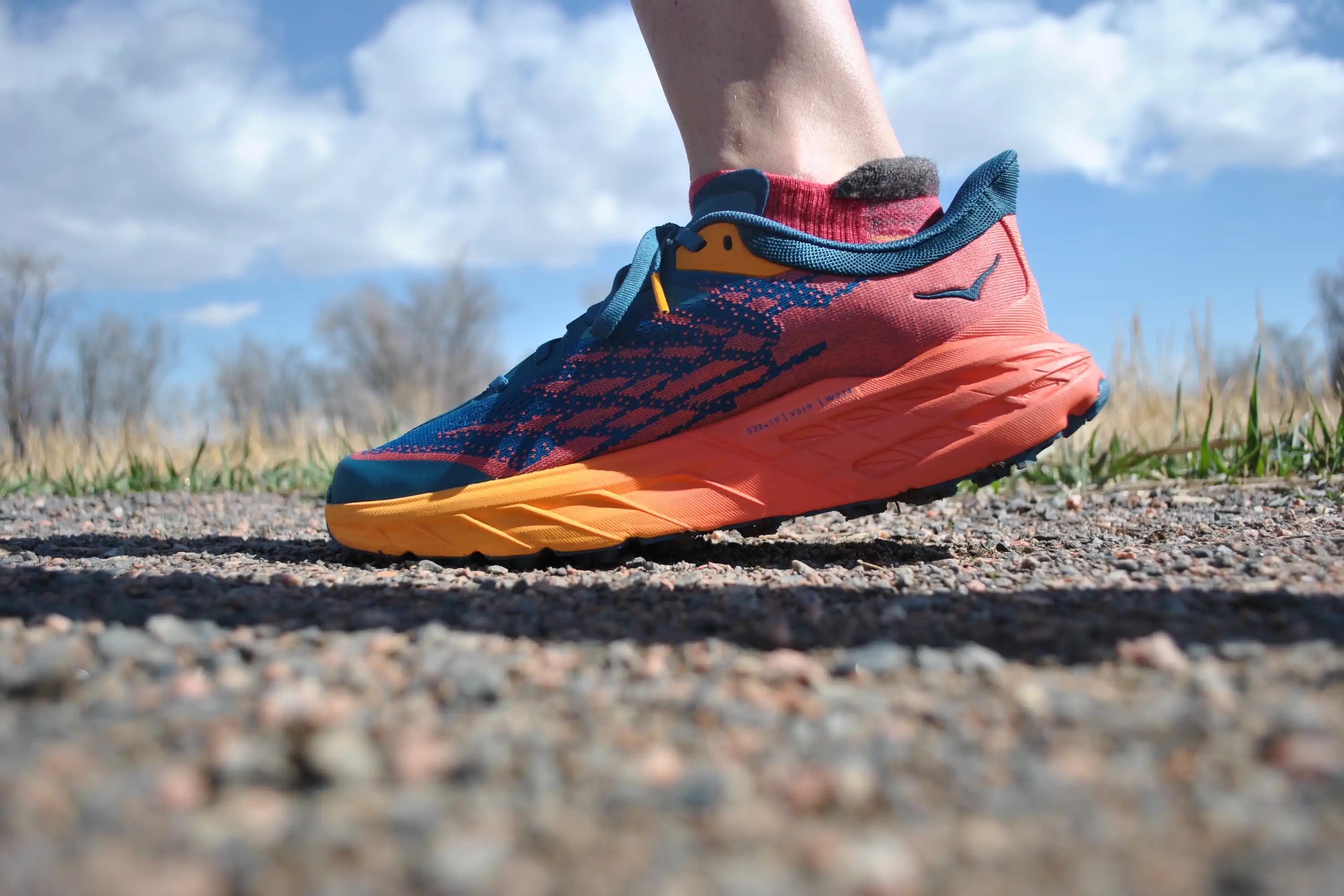
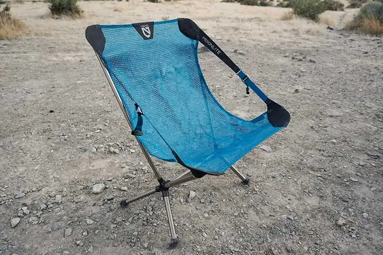
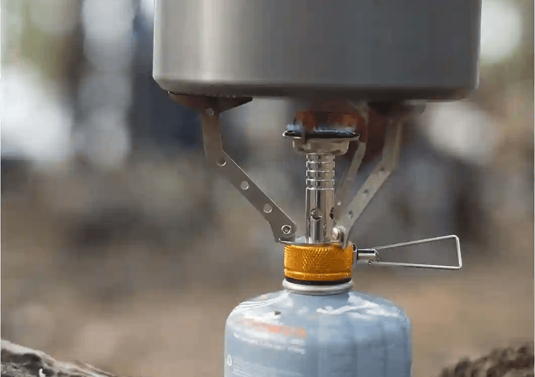
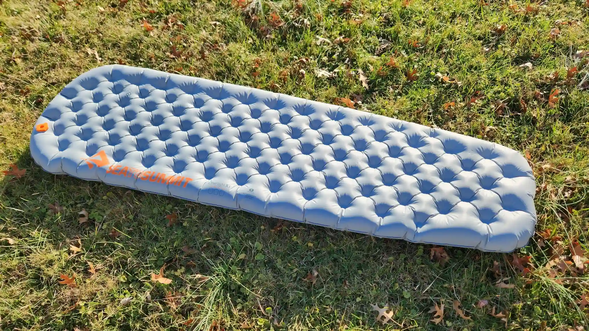
Gear Recommend