Hiking
Temperature: The average temperature throughout the year is between 21.5 degrees Celsius and 26.25 degrees Celsius
Average rainfall: 1,549.2 millimeters per year
Distance: Round trip distance is about 700 meters
Elevation: Highest peak at 1,365 meters
Porter: Available
Transportation:
Car
To Phu Ruea National Park: Drive along Highway 203 to Phu Ruea District. The national park sign is at the district office and continue for 4 km to the park entrance. The road inside the park is a winding mountain road, some parts are steep, so tourists should drive with caution. In the case of driving with low gear, otherwise it may cause brake overheating
Airplane
Route 1: Bangkok-Udon Thani and then take a bus from Udon Thani to Mueang Loei
Route 2: Bangkok-Khon Kaen and then take a bus from Khon Kaen to Mueang Loei. Arrive in Loei province and then take a bus for 50 km to Phu Ruea District
Route 3: Bangkok-Phitsanulok and then take a bus from Mueang Loei to Phu Ruea or take a bus such as Nakhon Phanom-Chiang Rai, Udon Thani-Phitsanulok
Bus: Travel from Bangkok has 2 routes
Route 1: Bangkok-Phu Ruea
Route 2: Bangkok-Mueang Loei
Contact:
Phone: 0 4281 0965, 088 509 5299
Email: phurua1@hotmail.com
Head of National Park: Ms. Netnapha Ngamnet
Position: Senior Forestry Specialist
Operating hours: 05.30 AM - 08.00 PM
Peak Height
1,365 m
Distance
700 m
Porter
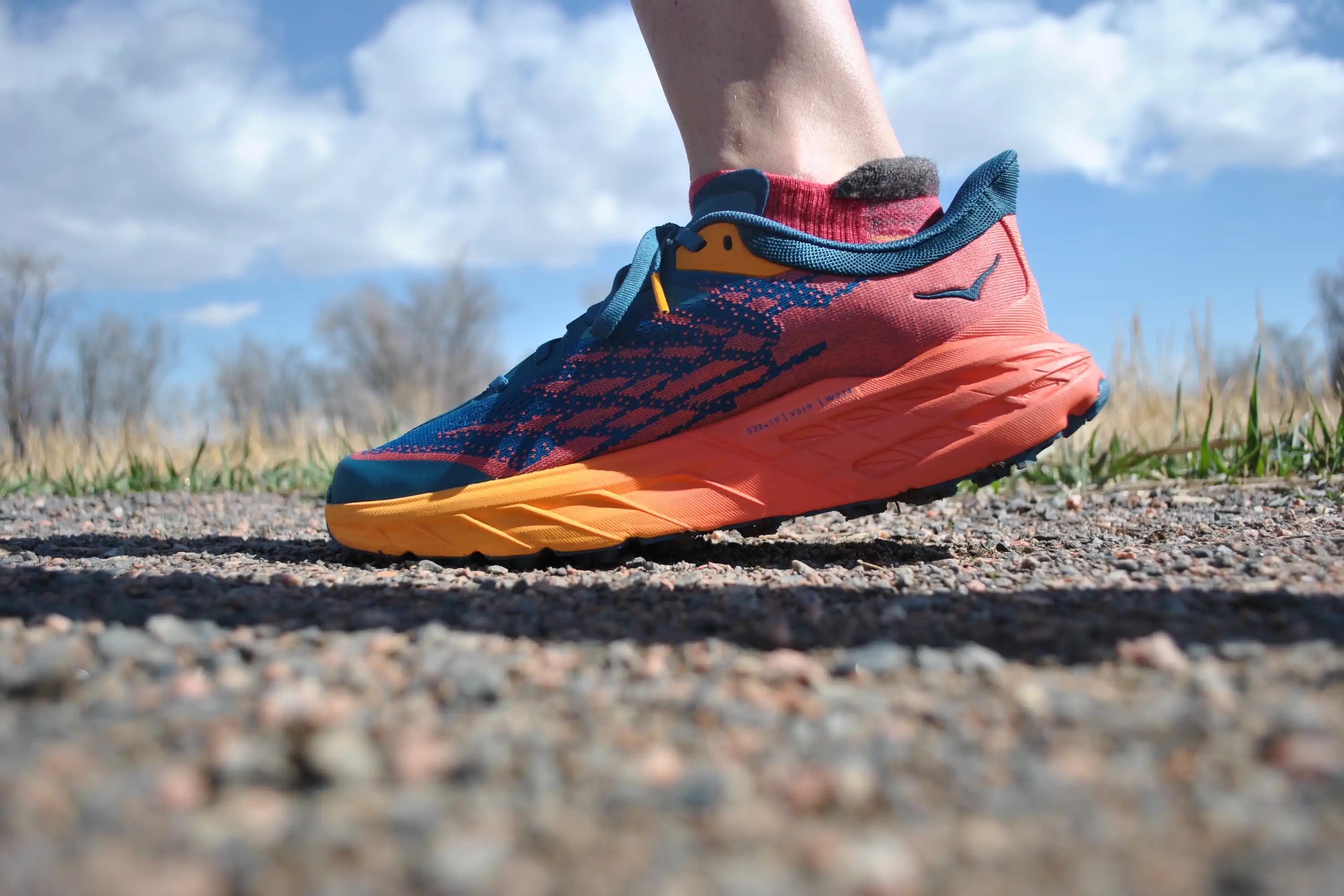
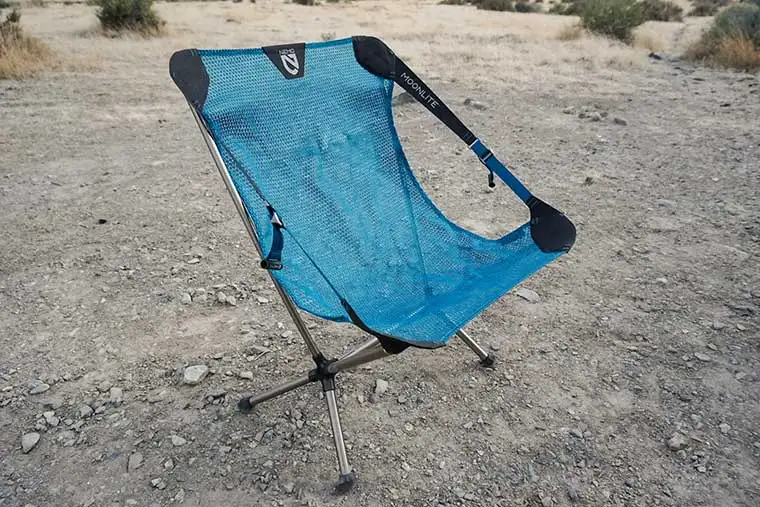
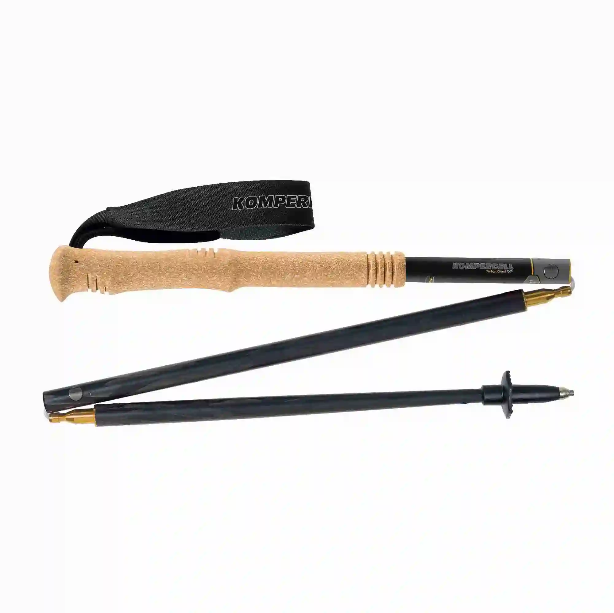
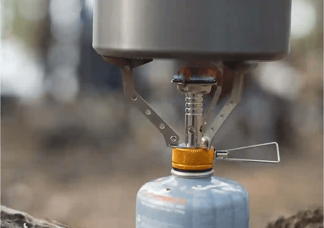
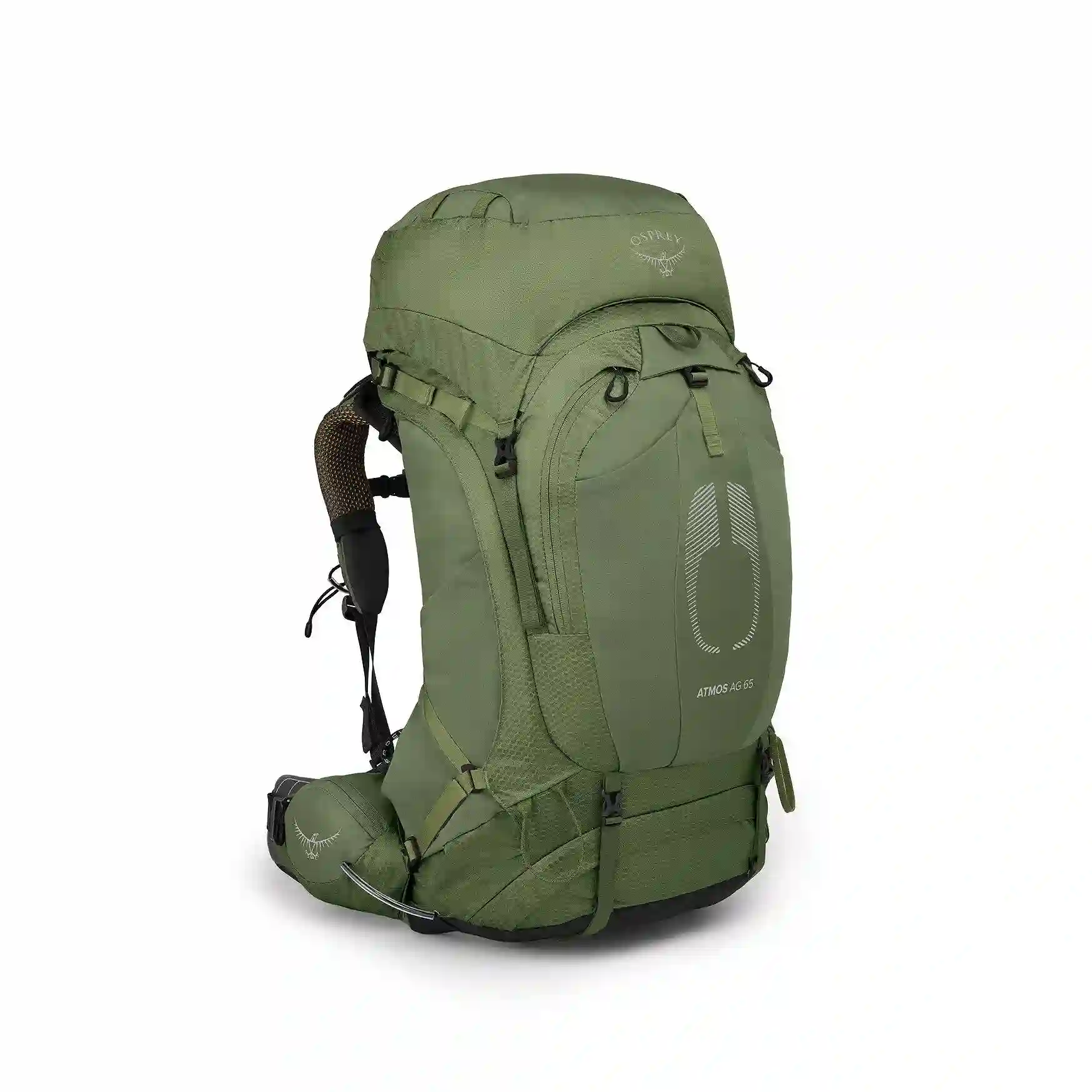
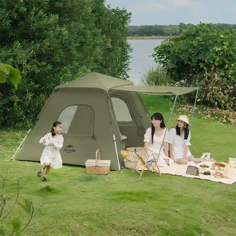
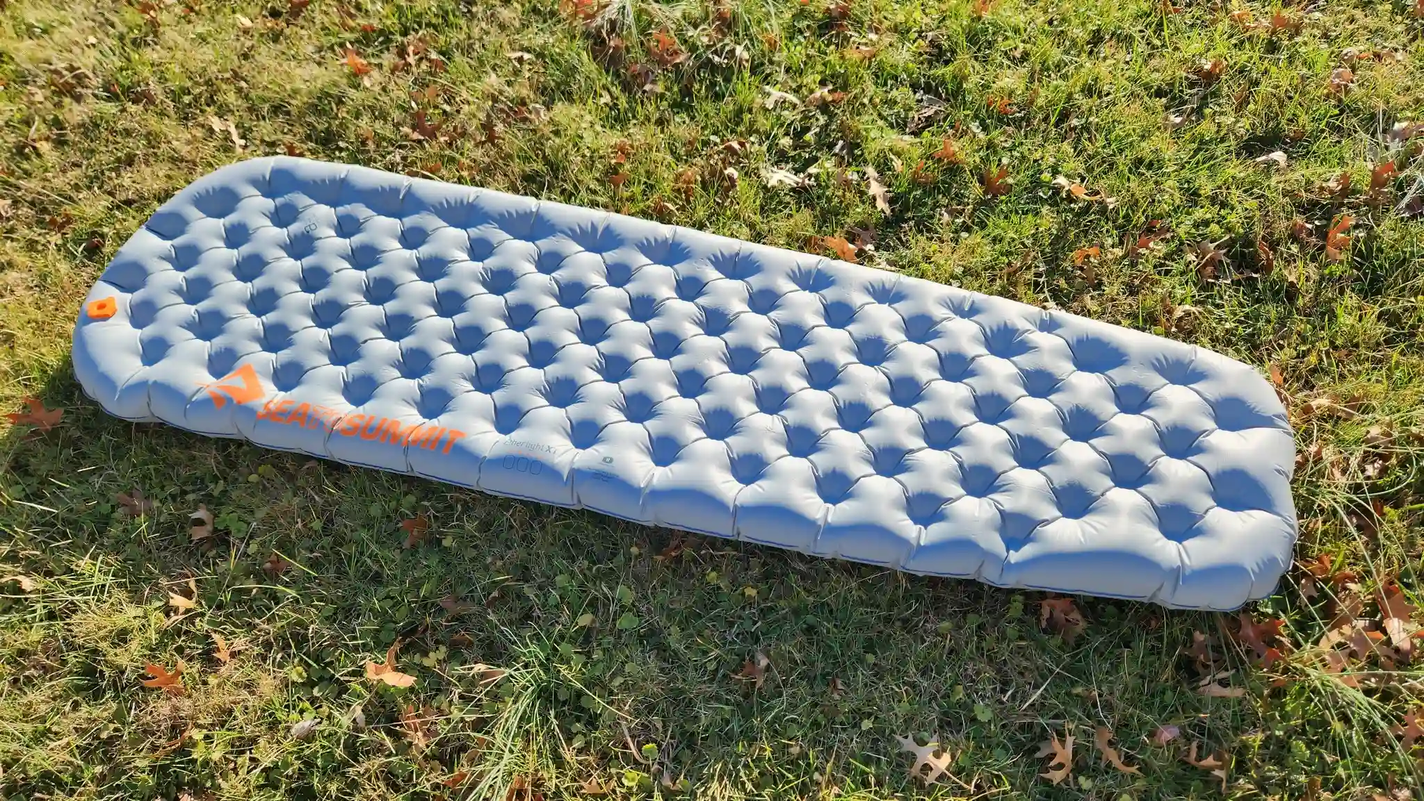
Gear Recommend